Sony patents mapping system that ignores user-selected image areas
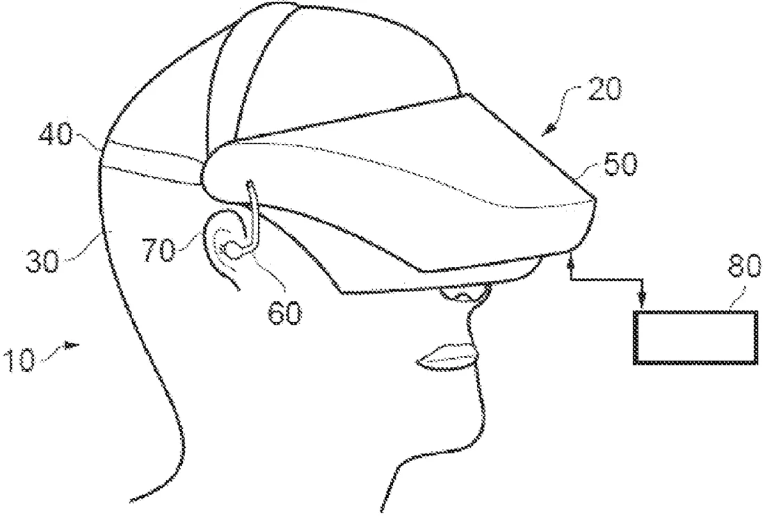
Sony describes a system that builds 3D maps of environments by analyzing photos taken from different angles. It allows users to block out specific parts of the images before the system identifies key points to create the map.
In the filing’s own words
A data processing apparatus includes receiving circuitry to receive a plurality of images of an environment captured from respective different viewpoints, detection circuitry to detect a plurality of feature points in the plurality of captured images and to associate image information with each detected feature point indicative of an image property for a detected feature point, where each detected feature point represents a candidate landmark point for mapping the environment, selection circuitry to select one or more of the plurality of candidate landmark points, the one or more selected landmark points corresponding to a subset of the plurality of candidate landmark points, and mapping circuitry to generate, for the environment, a map including one or more of the selected landmark points, where each landmark point included in the map is defined by a three dimensional position and the associated image information for that landmark point.
What exactly they claim (claim 1)
1. A data processing apparatus, comprising: receiving circuitry to receive a plurality of images of an environment captured from respective different viewpoints; detection circuitry to receive a user input specifying one or more regions in at least one of the plurality of images to be excluded from analysis, exclude the one or more regions from the at least one of the plurality of images, after the exclusion, detect a plurality of feature points in each one of the plurality of captured images, wherein at least one feature point is detected in a region of the at least one image that has not been excluded, and associate image information with each one of the plurality of feature points being indicative of an image property for the one of the plurality of feature points so detected within the one of the plurality of captured images after exclusion, wherein each detected feature point represents a candidate landmark point for mapping the environment; selection circuitry to select a subset of the plurality of candidate landmark points, the subset of the plurality of candidate landmark points to be used as a plurality of landmark points for use in generating a map; and mapping circuitry to generate, for the environment, the map comprising the plurality of landmark points, wherein each one of the plurality of landmark points is defined by a three dimensional position and the associated image information for that one of the plurality of landmark points.
Facts
- Company
- Sony (Sony Interactive Entertainment Inc.)
- Official title
- Apparatus and method for localisation and mapping
- Patent number
- US12755485B2
- Application number
- 17964985
- Filed
- Oct 13, 2022
- Granted
- Oct 6, 2026
- Inventors
- 3
- Claims
- 20
Classified under
G06T 17/05 Physics & computingG02B 27/0172 Physics & computingG06T 7/62 Physics & computingG06T 7/70 Physics & computingG06V 10/44 Physics & computingG06V 10/764 Physics & computingMore from Sony in AR, VR & displays
- Sony patents device that warms or cools you when you touch virtual objects Sep 15, 2026
- Sony patents VR box that mimics a transparent fish tank Oct 13, 2026
- Sony patents cloud gaming that puts characters in your room Oct 15, 2026
- Sony patents LED screens that show unique views to each person in a room Oct 15, 2026
- Sony patents cloud gaming that adjusts to your brain state Sep 8, 2026
Summaries are simplified from the filing’s own abstract and first claim. A patent filing is not a product announcement.
Patent data and drawings: U.S. Patent and Trademark Office (USPTO). Nebula is not affiliated with or endorsed by the USPTO.